
Country Italy Comune Bevagna Time zone CET (UTC+1) Population 332 (2001) Area code 0742 | Region Umbria Elevation 204 m (669 ft) Postcode 06031 Province Province of Perugia | |
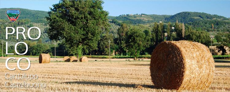 | ||
Cantalupo is a frazione of Bevagna in the Italian region Umbria located at an elevation of 201 m on the Torrente Attone, a tributary of the Topino River. It is a small farming community in the low alluvial plains of central Umbria; its principal crop is grapes for wine.
Map of 06031 Cantalupo di Bevagna, Province of Perugia, Italy
About 2 km north of the village is the roadside shrine of Pian d' Arca commemorating the miracle of St. Francis of Assisi and the birds.
References
Cantalupo di Bevagna Wikipedia(Text) CC BY-SA