
Elevation 423 m (1,388 ft) Dialing code 0574 Postal code 59025 Dialling code 0574 | Time zone CET (UTC+1) Area 94.9 km² Local time Wednesday 11:58 AM | |
 | ||
Frazioni Fossato, Gavigno, L'Acqua, Luicciana, Migliana, Gricigliana, La Rocca di Cerbaia, Carmignanello, Usella, Il Fabbro Weather 12°C, Wind N at 19 km/h, 29% Humidity | ||
Cantagallo is a comune (municipality) in the Province of Prato in the Italian region Tuscany, located about 30 kilometres (19 mi) northwest of Florence and about 15 kilometres (9 mi) north of Prato. As of 31 December 2004, it had a population of 2,822 and an area of 94.9 square kilometres (36.6 sq mi).
Contents
- Map of 59025 Cantagallo Province of Prato Italy
- Overview
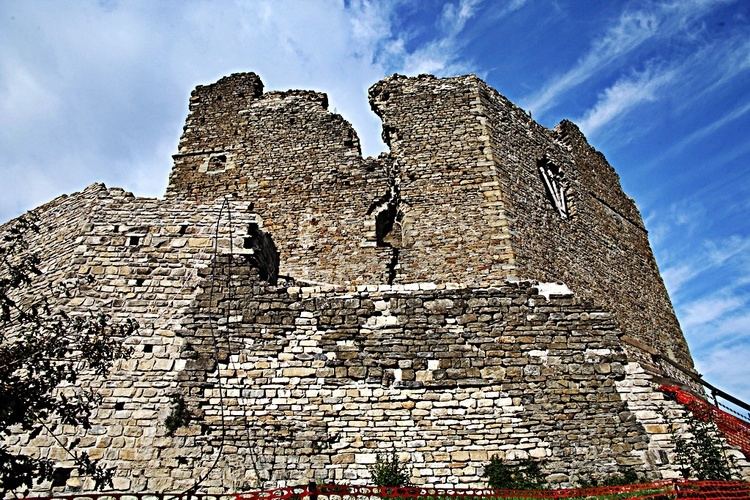
- Villages
- Churches
- Villas
- Other sights
- Feasts
- Nature
- References
Map of 59025 Cantagallo Province of Prato, Italy
Overview
The municipality of Cantagallo contains the frazioni (subdivisions, mainly villages and hamlets) Fossato, Gavigno, L'Acqua, Luicciana, Migliana, Gricigliana,Cerbaia, Carmignanello, Usella,La Villa,Cambiaticcio,Castagnana,Codilupo,Colle Bisenzio,La Dogana Il Pucci,Pratale,Trairio, and Il Fabbro.
Cantagallo borders the following municipalities: Barberino di Mugello, Camugnano, Montale, Montemurlo, Pistoia, Sambuca Pistoiese, Vaiano, Vernio.
Villages
Churches
Villas
Other sights
Feasts
Nature
References
Cantagallo, Tuscany Wikipedia(Text) CC BY-SA