
Established 1865 Postal code 5419 | Postcode(s) 5419 | |
 | ||
LGA(s) | ||
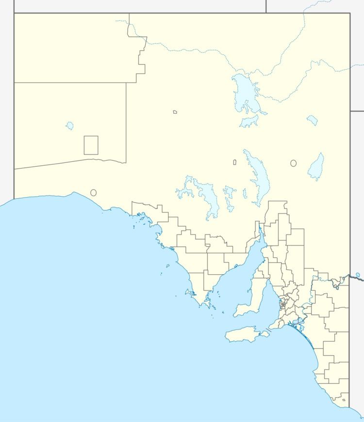
Canowie is a locality in the Mid North region of South Australia. A town was surveyed in 1865, however little remains of the township today. The current boundaries of the locality were created in 2000. Its name is believed to be derived from Kanya-Owie, the Aboriginal name for a rock waterhole.
Map of Canowie SA 5419, Australia
A government town at Canowie was surveyed in July 1865, but was declared to have been diminished in December 1930. Canowie Post Office opened on 1 September 1867 and closed on 22 February 1924.
The remnants of the old Canowie Station pastoral lease are now to the north of the locality in Belalie East.
Canowie has the Hallett Power Station gas-fired power station within its bounds, and the Brown Hill part of the Hallett Wind Farm along the western boundary.