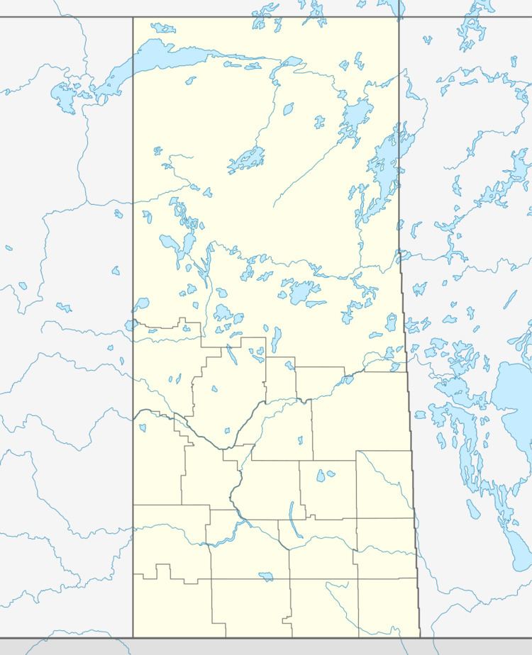
Country Canada Highways Hwy 965 Province Saskatchewan Local time Wednesday 1:43 AM | Postal code S0M 0K0 Area 25.71 km² Population 716 (2011) Area code 306 | |
 | ||
Time zone Central Standard Time (UTC−6) Weather -22°C, Wind NW at 16 km/h, 65% Humidity | ||
Canoe Narrows is a town in the boreal forest of northern Saskatchewan, Canada. It location is on Canoe Lake approximately thirty miles west of Beauval, within ancient hunting grounds of the Woodland Cree.
Contents
Map of Canoe Narrows, SK, Canada
The population in 2011 was 716 people.
Bordering Canoe Narrows to the east is the village of Jans Bay with a population of 187. Bordering Canoe Narrows to the west is the village of Cole Bay with a population of 230.
Commercial fishing was the community's original means of support; however, fish populations have diminished somewhat since the late 1970s. The community has since turned to forestry as its main industry.
Canoe Lake First Nation
This town is the administrative headquarters of the Canoe Lake Cree First Nations band government and is affiliated with the Meadow Lake Tribal Council.
The registered population of the Canoe Lake Cree First Nation was 2217 on February, 2013. There were 982 members living on reserve and 1235 members living off reserve. The Canoe Lake Cree Nation has seven locations with three on Canoe Lake.
