
 | ||
Similar Shaw Island, Turn Island, Yellow Island, Jones Island State Park, Blind Island State Park | ||
Canoe Island lies in the center of the San Juan Islands in Upright Channel between Shaw Island and Lopez Island. The two water approaches to Indian Cove County Park on Shaw Island pass to either side of Canoe Island, which protects Indian Cove from high waves and surf. At low tide, mudflats in the shallow cove may be exposed. The island has a maximum elevation of 60 feet and has a 49.58-acre (200,600 m2) span. The island supports a moderately heavy growth of madrone, cedar, fir and hemlock trees growing on a small amount of soil. The shore of Canoe Island is fringed by kelp and seagrass. The narrowest part of Upright Channel lies between Canoe Island and Flat Point on Lopez Island, where the channel is scarcely 400 yards wide.
Map of Canoe Island, Eastsound, WA 98261, USA
The Washington State Ferry route from Anacortes to Friday Harbor passes between the southern corner of the island and Lopez Island.
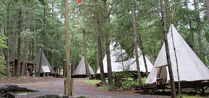
Canoe Island is home to Canoe Island Camps, and is privately owned by the camp, a non-profit organization.