
Established 1880 Area code(s) +53-82 Area 299 km² Population 19,523 (2004) | Founded 1809 Time zone EST (UTC-5) Climate Am Elevation 50 m Local time Tuesday 10:13 PM | |
 | ||
Weather 21°C, Wind NE at 8 km/h, 79% Humidity | ||
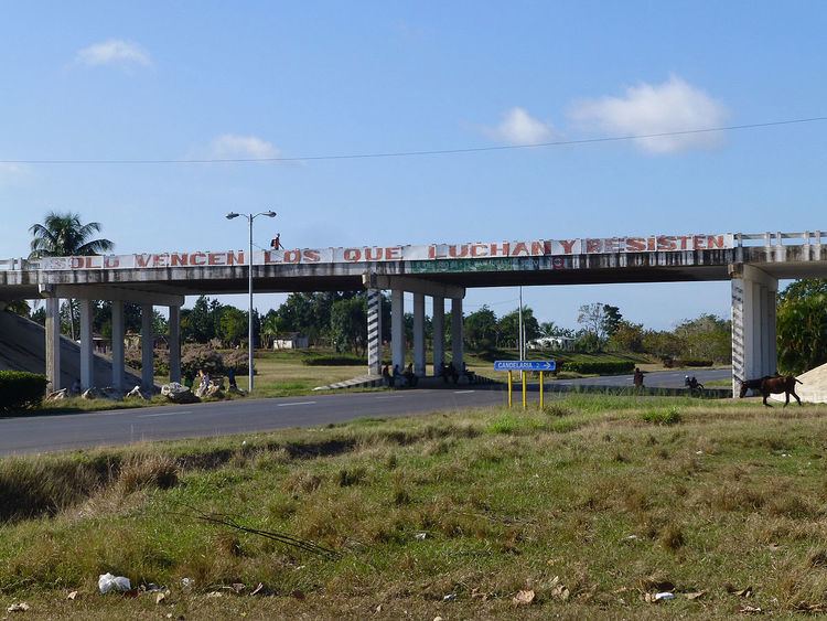
Candelaria is a municipality and town in the Artemisa Province of Cuba. Before 2011 belonged to Pinar del Río Province. It was founded in 1809, and established as a municipality in 1880.
Contents
Map of Candelaria, Cuba
Geography
The municipality is divided into the barrios of Bayate, Carambola, Frías, Lomas, Pasto Rico, Pueblo, Pueblo Nuevo, Punta Brava, Río Hondo, San Juan de Contreras, San Juan del Norte, Soroa and Las Terrazas. The waterfall Salto de Soroa is located within the municipal territory.
Demographics
In 2004, the municipality of Candelaria had a population of 19,523. With a total area of 299 km2 (115 sq mi), it has a population density of 65.3/km2 (169/sq mi).
References
Candelaria, Cuba Wikipedia(Text) CC BY-SA