
Time zone CET (UTC+1) Postal code 45034 | Demonym(s) Canarini Population 2,870 (2012) Local time Wednesday 2:54 AM | |
 | ||
Frazioni Baruchella, Boccalara, C. Benvenuto Tisi, C. Mella, C. Ruggieri, Ca' Matta, Croce del Sud, Crociara, Garofolo, Giaretta, La Frattina, Mezzavia, Paviole, Tenasi, Valiera, Vallone, Viezze Weather 7°C, Wind NW at 6 km/h, 55% Humidity | ||
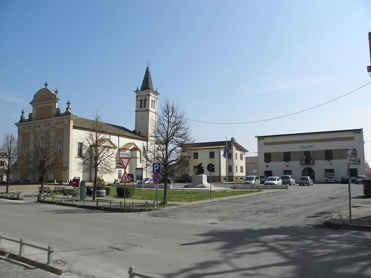
Canaro is a comune (municipality) in the Province of Rovigo in the Italian region Veneto, located about 80 kilometres (50 mi) southwest of Venice and about 15 kilometres (9 mi) southwest of Rovigo. As of 31 December 2004, it had a population of 2,885 and an area of 32.7 square kilometres (12.6 sq mi).
Contents
Map of 45034 Canaro Province of Rovigo, Italy
Geography
The municipality of Canaro contains the frazioni (subdivisions, mainly villages and hamlets) Baruchella, Boccalara, C. Benvenuto Tisi, C.Mella, C.Ruggieri, Ca' Matta, Croce del Sud, Crociara, Garofolo, Giaretta, La Frattina, Mezzavia, Paviole, Tenasi, Valiera, Vallone, and Viezze.
Canaro borders the following municipalities: Ferrara, Fiesso Umbertiano, Frassinelle Polesine, Occhiobello, Polesella and Ro.
Twin towns
Canaro is twinned with:
References
Canaro, Rovigo Wikipedia(Text) CC BY-SA