
Country United States County Butte County Local time Tuesday 11:20 AM | State California Elevation 51 m | |
 | ||
Weather 9°C, Wind SE at 14 km/h, 80% Humidity | ||
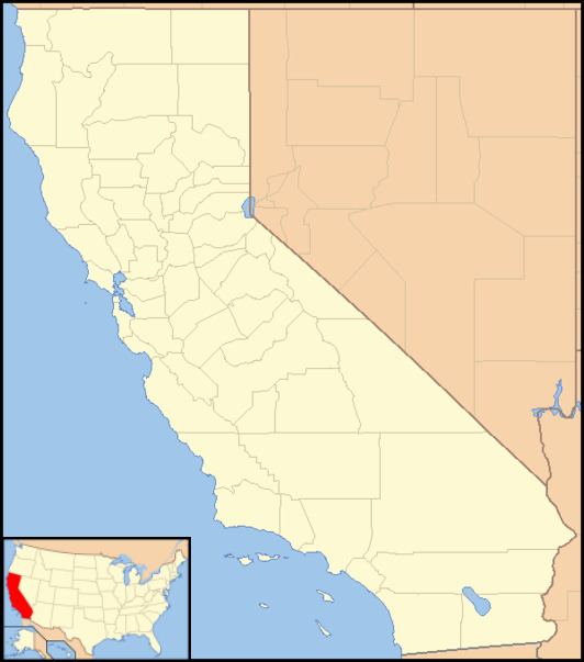
Cana (formerly, Missouri Bend) is an unincorporated community in Butte County, California. It lies at an elevation of 167 feet (51 m). A post office operated in Cana from 1871 to 1913, with brief closures in 1895 and 1900. In the 1870s, the community was on the stage coach routes from Chico; the population then was about 100, mostly farmers growing wheat.
Map of Cana, CA 95973, USA
References
Cana, California Wikipedia(Text) CC BY-SA