
Elevation 1,117 m (3,665 ft) Province Province of Ciudad Real | Last eruption 3600 BCE ± 500 years | |
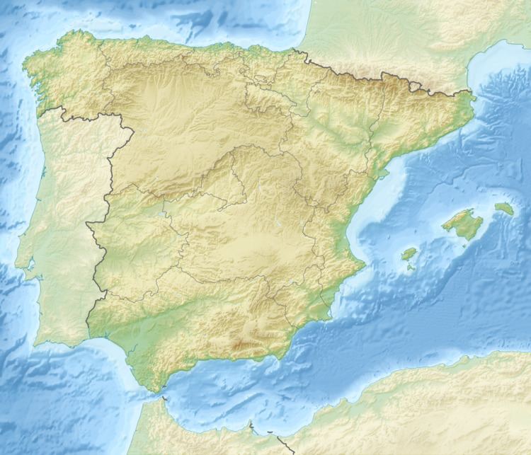 | ||
Location Province of Ciudad Real Similar Volcà del Montsacopa, Croscat, Mount Ngauruhoe | ||
The Campo de Calatrava volcanic field is a volcanic field in Spain. The volcanic field is in the centre of the province of Ciudad Real, in a region known as Campo de Calatrava.
Map of Vulcanismo del Campo de Calatrava, 13430, Ciudad Real, Spain
The volcanic field has an area of more than 5000 km2 and more than 300 individual structures and contains pyroclastic cones, lava domes and maars. The field erupted basaltic to foiditic lavas from the Pliocene to the Holocene in Columba volcano with phreatomagmatic activity, and fumaroles were observed in the 16-18 centuries in the Sierra de Valenzuela territory. Earlier activity has been subdivided in several phases. The first affecting mostly the centre of the field is K-Ar dated between 8.7 and 6.4 Ma. A second phase occurred in the Pleistocene 1.3 Ma and 0.7 Ma. The maars involve both hard-substrate maars formed in metasediments of the basement and soft-substrate maars in Pliocene unconsolidated sediments. Both types of maars are distributed in NE-SW and NW-SE directions following faults established during the Miocene. During the lower Pliocene, the system underwent uplift and erosion. Some maars contain sediments including travertine possibly related to carbon dioxide emissions. Gas emissions, sometimes increased following earthquake activity, are common in the field and include hydrogen sulfide, CO2 and water.