
Country United States ZIP code 97730 | Time zone PST (UTC-8) Elevation 903 m | |
 | ||
Named for Sherman County, home of many families who spent their summer vacations here | ||
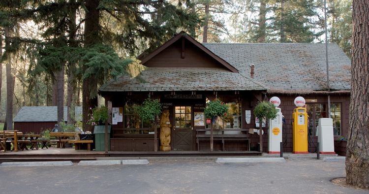
Camp Sherman is census-designated place and unincorporated community in Jefferson County, Oregon, United States. It is located on the Metolius River. The population consists of a few hundred year-round residents, swelling to several thousand during the summer. The community includes an elementary school, Black Butte School, a general store and a post office (zip code 97730). The community also has a volunteer fire department. Camp Sherman was founded by vacationers from Sherman County in the latter part of the 19th century.
Contents
Map of Camp Sherman, OR 97730, USA
Notable features
In 1949, Luther Metke was a key builder of the Camp Sherman Community Hall, the center of social activity in the community of Camp Sherman, Oregon. In February 2003 it was listed as a National Register of Historic Places due to its rustic architecture highlighting late 19th & Early 20th Century American Movements: Bungalow/Craftsman, Western Stick Architecture
Climate
This region experiences warm (but not hot) and dry summers, with no average monthly temperatures above 71.6 °F. According to the Köppen Climate Classification system, Camp Sherman has a warm-summer Mediterranean climate, abbreviated "Csb" on climate maps.