
Country United States GNIS feature ID 0428754 Area 97.59 km² Local time Tuesday 6:53 AM | Time zone CST (UTC-6) Elevation 214 m Population 1,632 (2010) | |
 | ||
ZIP codes 62320, 62325, 62339, 62351 Weather 4°C, Wind W at 26 km/h, 71% Humidity | ||
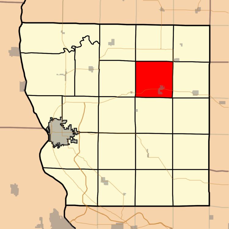
Camp Point Township is one of twenty-two townships in Adams County, Illinois, United States. As of the 2010 census, its population was 1,632 and it contained 695 housing units.
Contents
- Map of Camp Point Township IL USA
- History
- Geography
- Cities villages and towns
- Cemeteries
- Major highways
- Airports and landing strips
- Landmarks
- School districts
- Political districts
- References
Map of Camp Point Township, IL, USA
History
Camp Point was organized as a political township in 1849.
Geography
According to the 2010 census, the township has a total area of 37.68 square miles (97.6 km2), of which 37.61 square miles (97.4 km2) (or 99.81%) is land and 0.07 square miles (0.18 km2) (or 0.19%) is water.
Cities, villages and towns
Cemeteries
The township contains three cemeteries: Evergreen, Hebron and Wallace.
Major highways
Airports and landing strips
Landmarks
School districts
Political districts
References
Camp Point Township, Adams County, Illinois Wikipedia(Text) CC BY-SA