
Population 1,258 (2011 census) Postal code 4520 | Postcode(s) 4520 Local time Tuesday 10:43 PM | |
 | ||
Weather 21°C, Wind S at 10 km/h, 68% Humidity | ||
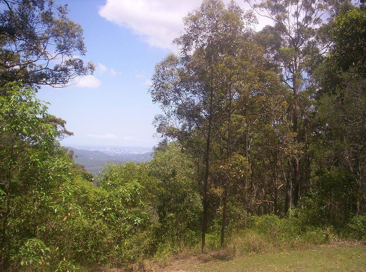
Camp Mountain is a rural locality in the Moreton Bay Region, Queensland, Australia. It is near Samford, 20 kilometres (12 mi) north-west of the Brisbane central business district. Parts of it are within the Brisbane Forest Park and a lookout and recreation area is accessible off Mount Nebo Road.
Contents
Map of Camp Mountain QLD 4520, Australia
Until 1955 the train line to Dayboro traversed the area and in 1947 was the location of Queensland's worst railway accident.
Demographics
In the 2011 census, Camp Mountain recorded a population of 1,258 people, 51% female and 49% male. The median age of the Camp Mountain population was 41 years, 4 years above the national median of 37. 81.7% of people living in Camp Mountain were born in Australia. The other top responses for country of birth were England 6.4%, New Zealand 1.8%, Netherlands 1%, Italy 0.9%, South Africa 0.6%. 92.1% of people spoke only English at home; the next most common languages were 1% German, 0.6% Dutch, 0.6% Cantonese, 0.6% Italian, 0.3% Hungarian.
Heritage listings
Camp Mountain has a number of heritage-listed sites, including: