
NRHP Reference # 85001673 Added to NRHP 29 July 1985 | Area 42 ha | |
 | ||
Location Roughly bounded by Clark Ave., W. Peace and Saint Mary's Sts., College Pl., Hillsborough St. and Oberlin Rd., Raleigh, North Carolina Architectural style Bungalow/craftsman, Late Victorian, Colonial MPS Early Twentieth Century Raleigh Neighborhoods TR Restaurants David's Dumpling & Noodle, Ciago's, My Way Tavern | ||
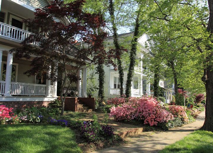
Cameron Park is a historic neighborhood just west of downtown Raleigh, North Carolina. It is one of three suburbs platted in the early 20th century. Development began along Hillsborough Street and moved north; a streetcar line along Hillsborough made the location especially appealing and convenient. Cameron Park's developers used restrictive deed covenants that set minimum house prices, created setbacks from the street, and excluded African Americans from living in the neighborhood (except as live-in domestic employees). Advertisements for Cameron Park openly recruited socially ambitious upper-middle class residents to the neighborhood, and land and house values were significantly higher than those of other early suburbs.
Map of Cameron Park, Raleigh, NC, USA
The neighborhood is architecturally varied, featuring Queen Anne and Colonial Revivals, large bungalows, and more eclectic styles like Georgian Revival, Tudor Revival, and Mission Revival. Despite the stylistic variety, houses were uniformly large and upscale for the era. Cameron Park was listed on the National Register of Historic Places in 1985 as a national historic district. It encompasses 274 contributing buildings and was developed between about 1910 and 1935.