
 | ||
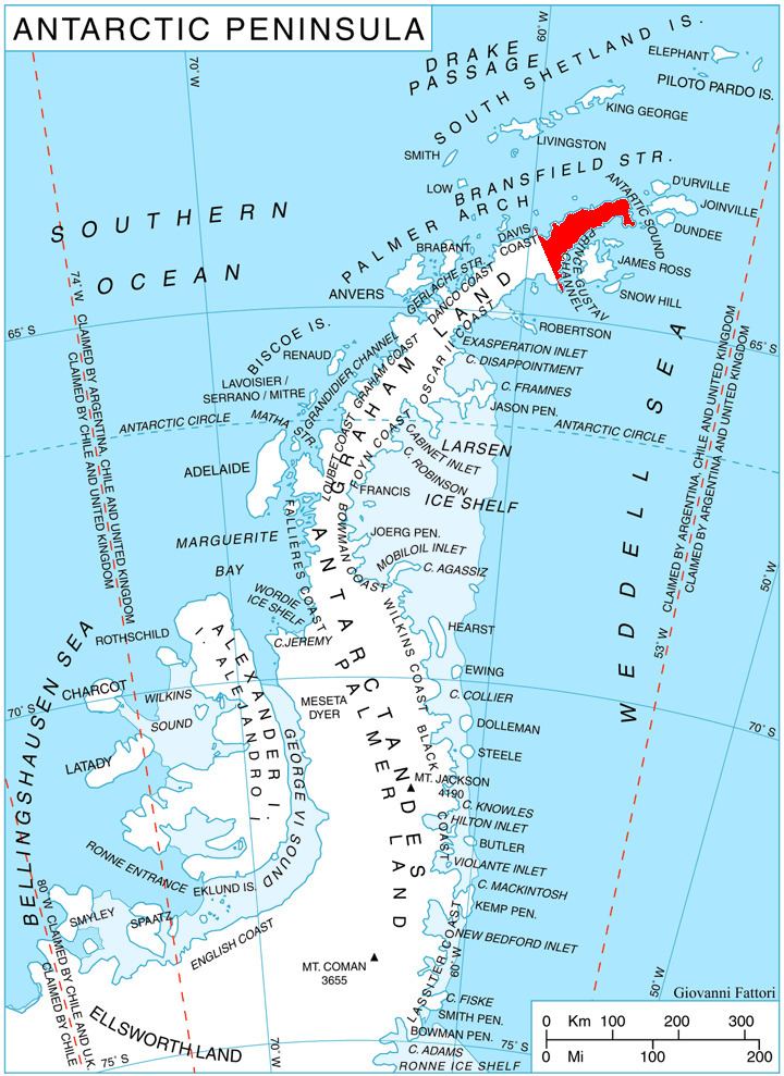
The Camel Nunataks (63°25′S 57°26′W) are two similar rock nunataks rising to 450 metres (1,480 ft), 1 nautical mile (2 km) apart, and 8 nautical miles (15 km) north of View Point and 8.68 km northwest of Garvan Point, Trinity Peninsula. The name is descriptive and has been in use amongst Falkland Islands Dependencies Survey personnel at Hope Bay since about 1959.
Map
References
Camel Nunataks Wikipedia(Text) CC BY-SA