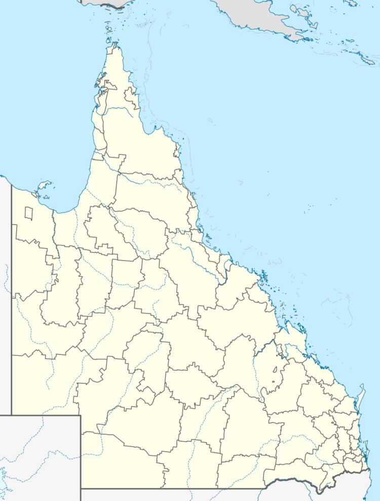
Population 373 (2011 census) Postal code 4552 | Postcode(s) 4552 Cambroon Curramore | |
 | ||
Location 28 km (17 mi) W of Nambour48 km (30 mi) NW of Caloundra98 km (61 mi) NNW of Brisbane | ||
Cambroon is a locality in the Sunshine Coast Region, Queensland, Australia. In the 2011 census, Cambroon had a population of 373 people.
Contents
Map of Cambroon QLD 4552, Australia
Geography
Cambroon is located on the Mary River. It is on the Maleny-Kenilworth Road.
History
Cambroon takes its name from the pastoral run of the same name, which was established in 1855 by J. D. MacTaggart. The name of the pastoral run is believed to be the name of an Aboriginal leader at the time of first contact.
Cambroon Provisional School opened on 5 February 1923 and was upgraded to a state school on 1 December 1924. The school closed in May 1944.
References
Cambroon, Queensland Wikipedia(Text) CC BY-SA
