Elevation 3,151 m | Topo map USGS Galena Prominence 73 m | |
 | ||
Easiest route Simple scramble, class 2 | ||
Camas County Highpoint, at 10,337 feet (3,151 m) above sea level is the second highest peak in the Smoky Mountains of Idaho and the highest point in Camas County. Located on the border of Blaine and Camas counties, Camas County Highpoint is about 0.6 miles (970 m) south-southwest of the range's highest point, Saviers Peak. The peak is also on the border of Sawtooth National Recreation Area and the Fairfield Ranger District of Sawtooth National Forest.
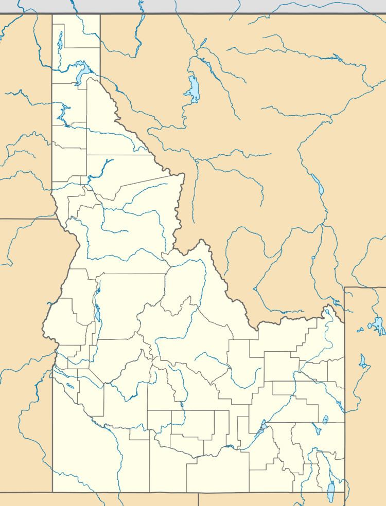
Map of Camas County Highpoint, Idaho 83340, USA
References
Camas County Highpoint Wikipedia(Text) CC BY-SA
