
Time zone CST (UTC-6) Elevation 200 m Local time Monday 10:49 PM | Established November 5, 1867 ZIP codes 61919, 61953, 61956 Area 100.1 km² Population 3,585 (2010) | |
 | ||
Weather 16°C, Wind S at 45 km/h, 81% Humidity | ||
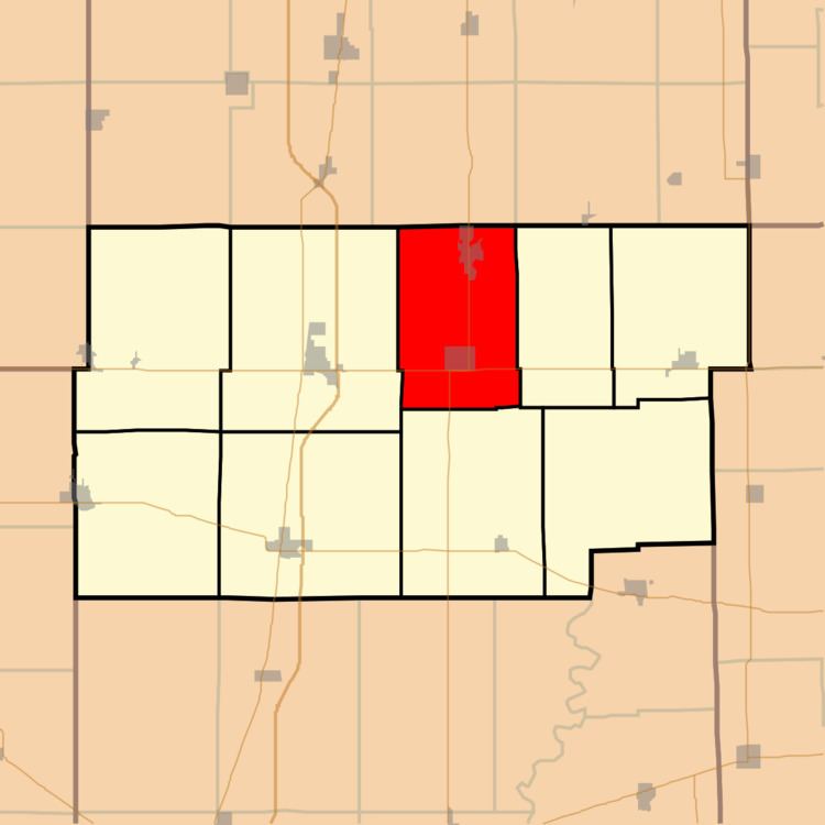
Camargo Township is one of nine townships in Douglas County, Illinois, USA. As of the 2010 census, its population was 3,585 and it contained 1,577 housing units.
Contents
- Map of Camargo Township IL USA
- Geography
- Cities towns villages
- Unincorporated towns
- Cemeteries
- Major highways
- School districts
- Political districts
- References
Map of Camargo Township, IL, USA
Geography
According to the 2010 census, the township has a total area of 38.66 square miles (100.1 km2), of which 38.59 square miles (99.9 km2) (or 99.82%) is land and 0.06 square miles (0.16 km2) (or 0.16%) is water. The Embarras River flows through the township. The township contains Spring Lake.
Cities, towns, villages
Unincorporated towns
Cemeteries
The township contains these three cemeteries: Broadus, Hammett and Oak Ridge.
Major highways
School districts
Political districts
References
Camargo Township, Douglas County, Illinois Wikipedia(Text) CC BY-SA