
Country United States GNIS feature ID 0766373 Area 114.4 km² Local time Monday 9:40 PM | FIPS code 29-10666 Elevation 244 m Population 1,097 (2010) | |
 | ||
Weather 21°C, Wind S at 47 km/h, 68% Humidity | ||
Calwood Township is one of eighteen townships in Callaway County, Missouri, USA. As of the 2010 census, its population was 1,097.
Contents
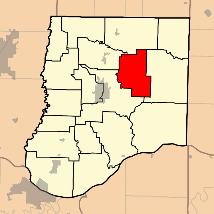
Map of Calwood Township, MO, USA
History
Calwood Township was established in 1876, and named after the community of Calwood, Missouri.
Calwood was formerly known as "Moore's Mill", since a steam mill owned by Moore was located there. The Civil War Battle of Moore's Mill was fought nearby in 1862.
Geography
Calwood Township covers an area of 44.17 square miles (114.4 km2) and contains no incorporated settlements. It contains one cemetery, Fairview.
The streams of Dyers Branch, Harrison Branch, Houfs Branch, Maddox Branch, Pinch Creek and Richland Creek run through this township.
References
Calwood Township, Callaway County, Missouri Wikipedia(Text) CC BY-SA