Country United States County Cook ZIP codes 60406 60827 Area 12.1 km² Population 20,777 (2010) | State Illinois Time zone CST (UTC-6) GNIS feature ID 0428750 Elevation 182 m Local time Monday 8:34 PM | |
 | ||
Weather 16°C, Wind S at 37 km/h, 83% Humidity Colleges and Universities Cannella School of Hair Design, Environmental Technical Institute | ||
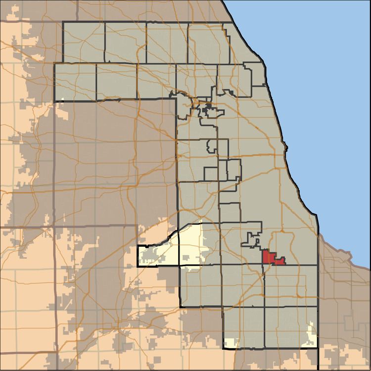
Calumet Township is one of 29 townships in Cook County, Illinois, USA. As of the 2010 census, its population was 20,777.
Contents
- Map of Calumet Township IL USA
- Geography
- Cities towns villages
- Adjacent townships
- Cemeteries
- Major highways
- Rivers
- Landmarks
- Political districts
- References
Map of Calumet Township, IL, USA
Geography
According to the United States Census Bureau, Calumet Township covers an area of 4.7 square miles (12.1 km2); of this, 4.4 square miles (11.4 km2) is land and 0.27 square miles (0.7 km2), or 5.79 percent, is water.
Cities, towns, villages
Adjacent townships
Cemeteries
The township contains Cedar Park Cemetery.
Major highways
Rivers
Landmarks
Political districts
References
Calumet Township, Cook County, Illinois Wikipedia(Text) CC BY-SA
