
Zip code 21215 | Time zone Eastern (UTC-5) Area 62 ha Population 1,926 (2009) | |
 | ||
Callaway-Garrison is a neighborhood in the Northwest district of Baltimore, located between the neighborhoods of Dorchester (west) and Ashburton (east). Its boundaries are marked by West Cold Spring Lane (north), Liberty Heights Avenue (south), Callaway Avenue (east) and Garrison Boulevard (west).
Contents
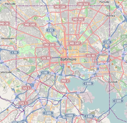
Map of Callaway-Garrison, Baltimore, MD 21215, USA
Demographics
The neighborhood's population, estimated at 1,926 in 2009, is predominantly black. With 22.7 percent of its families estimated to be living below the poverty level, Callaway-Garrison residents suffered economic hardship comparable with the rest of the city, which had an estimate of 22.9 percent of its families below the poverty line in 2009. Median household income, at $29,099 during 2009, was significantly less than the city median of $38,772. Single family housing prices, at an average of $195,966, were also significantly less than city-wide average $272,562 for single-family houses.
Public Transportation
Route 97 (MTA Maryland), the Mondawmin Metro Shuttle Bug, runs along Callaway Avenue at the neighborhood's eastern boundary, providing local bus service to Coppin State University, Mondawmin Mall, Baltimore City Community College and the Mondawmin Metro subway station.
Route 91 (MTA Maryland) provides local bus service along Garrison Boulevard, the neighborhhod's western boundary, as it travels between Sinai Hospital (north) and Downtown Baltimore (south).