
Area 2,334 km² Population 13,525 (2013) Unemployment rate 3.7% (Apr 2015) | Congressional district 11th Website www.co.callahan.tx.us Founded 1877 | |
 | ||
Rivers Sheep Creek, Bee Branch, Rough Creek, Lick Branch | ||
Callahan county texas rattlers
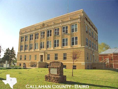
Callahan County is a county located in the U.S. state of Texas. As of the 2010 census, the population was 13,544. Its county seat is Baird. The county was founded in 1858 and later organized in 1877. It is named for James Hughes Callahan, a soldier in the Texas Revolution.
Contents
- Callahan county texas rattlers
- Map of Callahan County TX USA
- Geography
- Major highways
- Adjacent counties
- Demographics
- Cities
- Towns
- Unincorporated communities
- Ghost Towns
- References
Map of Callahan County, TX, USA
Callahan County is included in the Abilene, TX Metropolitan Statistical Area.
Geography
According to the U.S. Census Bureau, the county has a total area of 901 square miles (2,330 km2), of which 899 square miles (2,330 km2) is land and 1.9 square miles (4.9 km2) (0.2%) is water.
Major highways
Adjacent counties
Demographics
Per the 2010 United States Census, Callahan County had 13,544 people. Among non-Hispanics this includes 12,065 White (89.1%), 135 Black (1.0%), 56 Asian (0.4%), 61 Native American, 7 Pacific Islander, 10 from some other race, and 185 from two or more races. The Hispanic or Latino population included 1,025 people (7.6%).
There were 5,447 households out of which 27.1% had children under the age of 18 living with them, 57.0% were married couples living together, 5.2% had a female householder with children and no husband present, and 28.5% were non-families. 24.7% of all households were made up of individuals and 32.3% had someone who was 65 years of age or older.
The population was spread out with 76.2% over the age of 18 and 18.2% who were 65 years of age or older. The median age was 43.0 years. The gender ratio was 48.8% male and 51.2% female. Among 5,447 occupied households, 78.7% were owner-occupied and 21.3% were renter-occupied.[1]
As of the census of 2000, there were 12,905 people, 5,061 households, and 3,750 families residing in the county. The population density was 14 people per square mile (6/km²). There were 5,925 housing units at an average density of 7 per square mile (3/km²). The racial makeup of the county was 94.78% White, 0.22% Black or African American, 0.63% Native American, 0.26% Asian, 0.05% Pacific Islander, 2.70% from other races, and 1.35% from two or more races. 6.29% of the population were Hispanic or Latino of any race.
There were 5,061 households out of which 31.90% had children under the age of 18 living with them, 61.60% were married couples living together, 9.30% had a female householder with no husband present, and 25.90% were non-families. 23.30% of all households were made up of individuals and 12.20% had someone living alone who was 65 years of age or older. The average household size was 2.53 and the average family size was 2.97.
In the county, the population was spread out with 26.20% under the age of 18, 6.60% from 18 to 24, 24.90% from 25 to 44, 25.30% from 45 to 64, and 17.00% who were 65 years of age or older. The median age was 40 years. For every 100 females there were 94.40 males. For every 100 females age 18 and over, there were 90.90 males.
The median income for a household in the county was $32,463, and the median income for a family was $37,165. Males had a median income of $27,086 versus $19,720 for females. The per capita income for the county was $15,204. About 9.00% of families and 12.20% of the population were below the poverty line, including 14.80% of those under age 18 and 9.80% of those age 65 or over.