
Quadrant SW Sector Southwest Elevation 695 m | Ward 9 Area 99 ha Population 1,177 (2012) | |
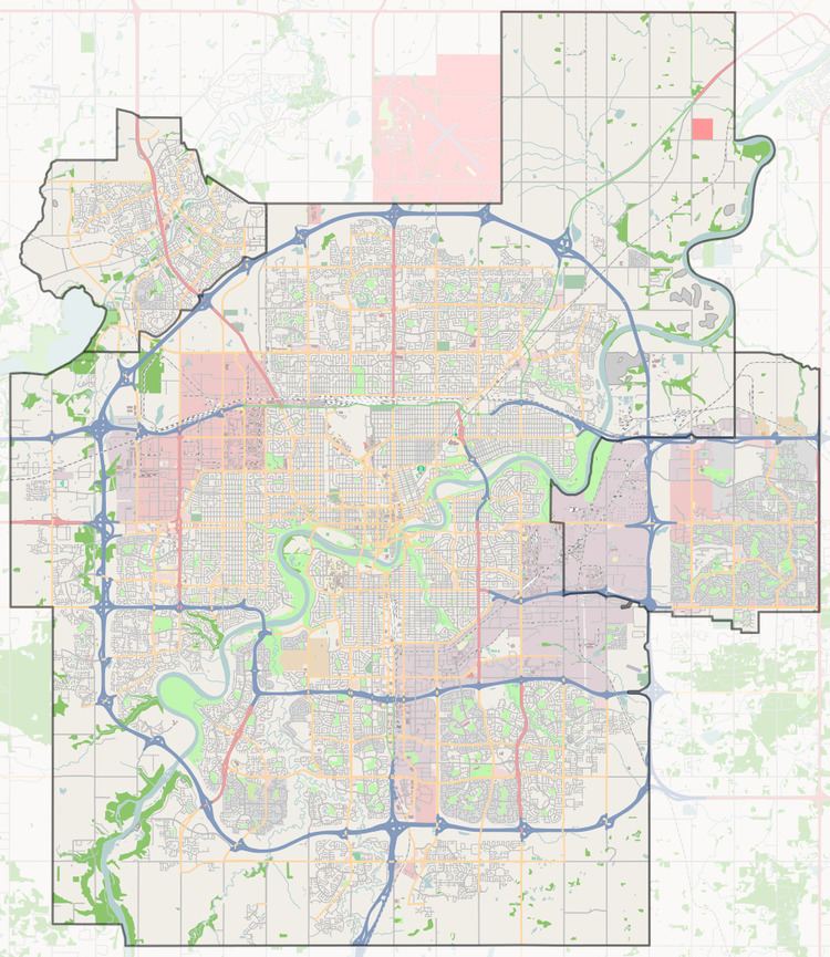 | ||
Callaghan is a new neighbourhood in southwest Edmonton, Alberta, Canada. It is bounded on the south by 30 Avenue SW and on the east by James Mowatt Trail (111 Street) and the Blackmud Creek Ravine. The north boundary is approximately 21 Avenue SW.
Contents
Map of Callaghan, Edmonton, AB, Canada
Demographics
In the City of Edmonton's 2012 municipal census, Callaghan had a population of 7003117700000000000♠1,177 living in 7002676000000000000♠676 dwellings. With a land area of 0.99 km2 (0.38 sq mi), it had a population density of 7003118890000000000♠1,188.9 people/km2 in 2012.
References
Callaghan, Edmonton Wikipedia(Text) CC BY-SA