
Area 153 ha Established 1996 | Governing body BC Parks Province British Columbia | |
 | ||
Location British Columbia, Canada Visitors less than 100 (in 2010) Address Thompson-Nicola A, BC, Canada Similar Chu Chua Cottonwood Provincial, Banana Island Provincial, Blue Earth Lake Provincial, Wire Cache Provincial, Arrowstone Provincial Park | ||
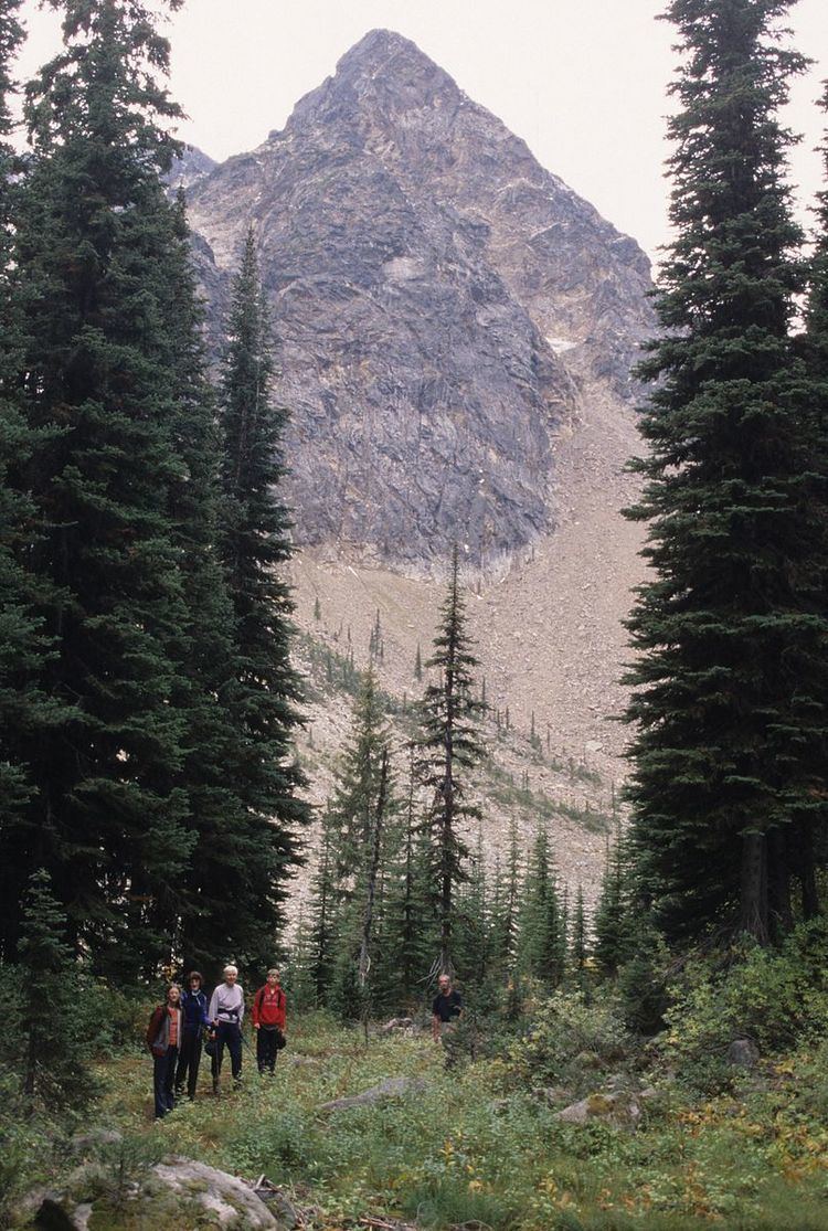
Caligata Lake Provincial Park is a provincial park in British Columbia, Canada, located northeast of Clearwater. The lake occupies a cirque below the north face of Raft Mountain. The park has no visitor facilities or services.
Access is by Spahats Creek Road off the Clearwater Valley Road (also called Wells Gray Park Road), then there is a short hike to the lake.
Cross-country hiking routes lead from Caligata Lake to the nearby Cirque of Tarns and Spahats Hill. A more rigorous hike ascends to the east ridge of Raft Mountain from where a skyline walk can go in either direction to Raft's multiple summits.
The name comes from the Latin for the hoary marmot, marmota caligata.
References
Caligata Lake Provincial Park Wikipedia(Text) CC BY-SA