
Country United States Elevation 962 m Local time Monday 7:39 AM | GNIS feature ID 0470879 Area 232.8 km² Population 57 (2000) | |
 | ||
Weather 11°C, Wind SW at 31 km/h, 38% Humidity | ||
Calhoun Township is a township in Cheyenne County, Kansas, USA. As of the 2000 census, its population was 57.
Contents
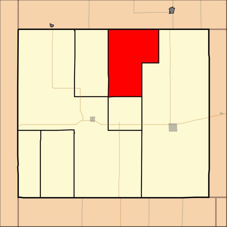
Map of Calhoun, KS, USA
Geography
Calhoun Township covers an area of 89.87 square miles (232.8 km2) and contains no incorporated settlements. According to the USGS, it contains one cemetery, Barley.
Beaumaster Pond (historical) is within this township. The streams of Bluff Creek, Cleveland Run, Delay Creek, Hackberry Creek, Jones Canyon Creek, Nesbit Creek and Plum Creek run through this township.
References
Calhoun Township, Cheyenne County, Kansas Wikipedia(Text) CC BY-SA