
Population 451 (2011 census) State electorate(s) Whitsunday Postal code 4798 Lga Mackay Region | Postcode(s) 4798 Calen Coral Sea Local time Monday 10:29 PM Federal division Division of Dawson | |
 | ||
Location 56 km (35 mi) NW of Mackay
332 km (206 mi) SE of Townsville
1,004 km (624 mi) NW of Brisbane Weather 27°C, Wind NW at 6 km/h, 93% Humidity | ||
Calen is a small town and locality in Mackay Region, Queensland, Australia. In the 2011 census, Calen had a population of 451 people.
Contents
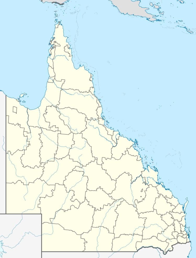
Map of Calen QLD 4798, Australia
Geography
The locality of Calen is loosely bounded by One Mile Creek to the south and Blackrock Creek to the north. The land is mostly flat and used for sugar cane farming, apart from some undeveloped mountains across the western boundary of the locality and some small undeveloped hill land in the east.
The Bruce Highway passes from the south-east to the north-west of the locality. The North Coast railway line runs immediately north and parallel to the highway.
The town of Calen is located on the south-eastern of the locality with the highway and railway passing through it. The Calen railway station is located in the town.
A second town of Kolijo is located on the south-eastern edge of the locality, again with the highway and railway passing through it. Calen and Kolijo are separated by St Helens Creek, which might explain the development of two towns less than 1.5 kilometres (0.93 mi) apart.
A neighbourhood called Moondaba exists at the north-western edge of the locality along the highway and railway line. It takes its name from the former Moondaba railway station and is reportedly an Aboriginal word meaning place of snakes. Moondaba is very close to the town of Pindi Pindi to the north, but are separated by the Blackrock Creek.
The locality of Calen has a network of privately operated tramway lines for transporting sugar cane to the sugar mill.
History
The town of Kolijo takes its name from the former Kolijo railway station which was named on 9 March 1923 by the Queensland Railways Department, reported an Aboriginal word, language and dialect not recorded, meaning possum.
The town of Calen takes its name from the Calen railway station which was named on 8 February 1924 by the Queensland Railway Department, reportedly being an Aboriginal name, language and dialect unknown, indicating cloud.
Calen State School opened on 24 February 1925 under head teacher Honoria Mary Doherty. In 1963 it expanded to offering secondary schooling (8-10). In 1991 it further expanded to offer secondary schools (11-12). On 13 December 2003, it was renamed Calen District State College.
Calen Post Office opened by 1933.
At the 2006 census, Calen had a population of 289.