
Country United States County Boone Time zone CST (UTC-6) Elevation 278 m Local time Monday 6:14 AM | State Illinois Settlement November 6, 1849 ZIP codes 61008, 61011, 61065 Area 63.07 km² Population 7,439 (2010) | |
 | ||
Weather 9°C, Wind S at 26 km/h, 83% Humidity | ||
Caledonia Township is one of nine townships in Boone County, Illinois, USA. As of the 2010 census, its population was 7,439 and it contained 2,537 housing units. Sometime after 1921, Poplar Grove Township was formed from a portion of Caledonia Township.
Contents
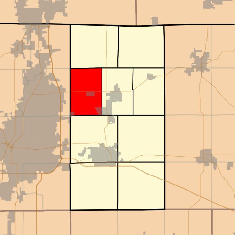
- Map of Caledonia Township IL USA
- Geography
- Cities
- Extinct towns
- Cemeteries
- Major highways
- School districts
- Political districts
- References
Map of Caledonia Township, IL, USA
Geography
According to the 2010 census, the township has a total area of 24.35 square miles (63.1 km2), of which 24.04 square miles (62.3 km2) (or 98.73%) is land and 0.31 square miles (0.80 km2) (or 1.27%) is water.
Cities
Extinct towns
Cemeteries
The township contains Drake Cemetery.
Major highways
School districts
Political districts
References
Caledonia Township, Boone County, Illinois Wikipedia(Text) CC BY-SA