
Country United States FIPS code 29-10360 Area 80 ha Zip code 65239 Local time Monday 12:56 AM | Time zone Central (CST) (UTC-6) GNIS feature ID 0729287 Elevation 262 m Population 284 (2013) Area code 660 | |
 | ||
Weather 12°C, Wind S at 29 km/h, 71% Humidity | ||
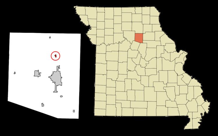
Cairo is a village in Randolph County, Missouri, United States. The population was 292 at the 2010 census.
Contents
Map of Cairo, MO 65239, USA
History
Cairo was originally called "Fairview", and under the latter name was founded in 1858. The village was named after Cairo, Egypt, perhaps via Cairo, Illinois. A post office called Cairo has been in operation since 1860.
The Mitchell Petroglyph Archeological Site was listed on the National Register of Historic Places in 1969.
Geography
Cairo is located at 39°30′43″N 92°26′27″W (39.512027, -92.440887).
According to the United States Census Bureau, the village has a total area of 0.31 square miles (0.80 km2), all of it land.
2010 census
As of the census of 2010, there were 292 people, 106 households, and 83 families residing in the village. The population density was 941.9 inhabitants per square mile (363.7/km2). There were 125 housing units at an average density of 403.2 per square mile (155.7/km2). The racial makeup of the village was 96.2% White, 0.7% African American, 0.7% Native American, 0.7% Asian, and 1.7% from two or more races.
There were 106 households of which 45.3% had children under the age of 18 living with them, 47.2% were married couples living together, 23.6% had a female householder with no husband present, 7.5% had a male householder with no wife present, and 21.7% were non-families. 18.9% of all households were made up of individuals and 7.6% had someone living alone who was 65 years of age or older. The average household size was 2.75 and the average family size was 3.06.
The median age in the village was 35 years. 31.2% of residents were under the age of 18; 9.2% were between the ages of 18 and 24; 21.6% were from 25 to 44; 22.3% were from 45 to 64; and 15.8% were 65 years of age or older. The gender makeup of the village was 48.3% male and 51.7% female.
2000 census
As of the census of 2000, there were 293 people, 117 households, and 80 families residing in the village. The population density was 1,093.2 people per square mile (419.0/km²). There were 127 housing units at an average density of 473.8 per square mile (181.6/km²). The racial makeup of the village was 97.95% White, and 2.05% from two or more races.
There were 117 households out of which 33.3% had children under the age of 18 living with them, 54.7% were married couples living together, 12.0% had a female householder with no husband present, and 30.8% were non-families. 28.2% of all households were made up of individuals and 14.5% had someone living alone who was 65 years of age or older. The average household size was 2.50 and the average family size was 3.05.
In the village, the population was spread out with 25.6% under the age of 18, 9.2% from 18 to 24, 27.3% from 25 to 44, 22.5% from 45 to 64, and 15.4% who were 65 years of age or older. The median age was 33 years. For every 100 females there were 82.0 males. For every 100 females age 18 and over, there were 77.2 males.
The median income for a household in the village was $35,000, and the median income for a family was $39,464. Males had a median income of $35,417 versus $20,536 for females. The per capita income for the village was $14,905. About 11.4% of families and 10.2% of the population were below the poverty line, including 16.3% of those under the age of eighteen and 26.3% of those sixty five or over.