
 | ||
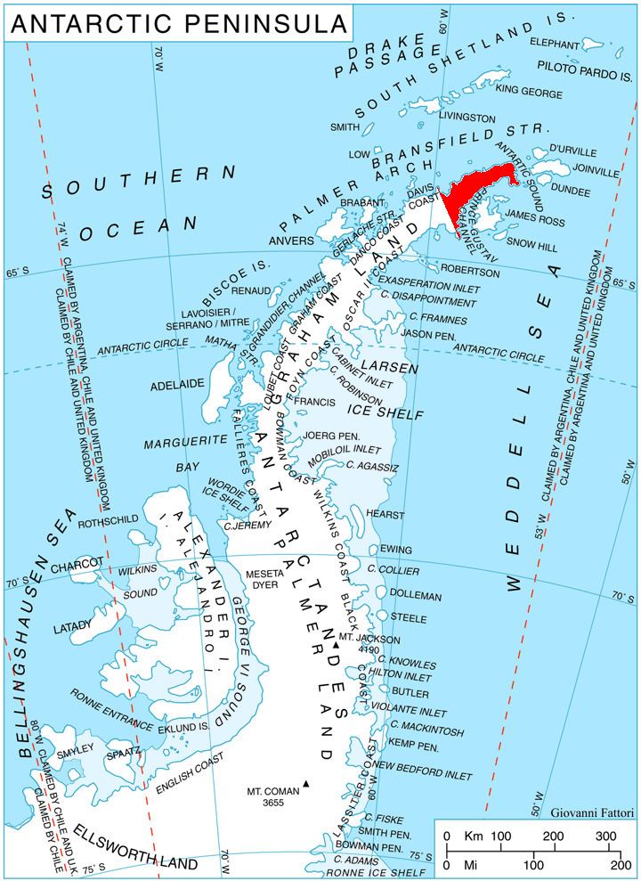
Cain Nunatak (63°34′S 57°42′W) is the westernmost of two isolated nunataks on the south side of Broad Valley, situated 3.37 km east-northeast of Kumata Hill on Trinity Peninsula, Antarctica. The name arose at the time of the Falkland Islands Dependencies Survey geological survey in 1960–61 and is in association with nearby Abel Nunatak, through the story of Cain and Abel.
Map
References
Cain Nunatak Wikipedia(Text) CC BY-SA