
Time zone EST (UTC-5) Climate Am Area 238 km² Local time Monday 1:13 AM | Founded 1910 Area code(s) +53-7 Elevation 95 m Population 36,813 (2004) | |
 | ||
Weather 21°C, Wind E at 14 km/h, 69% Humidity | ||
Caimito is a municipality and town in Artemisa Province of Cuba. The town was founded in 1820. The municipality of Caimito del Guayabal was created in 1910, based on the previously existing (1879-1902) municipality of Guayabal in the Pinar del Río Province. Since 1976, the official name is Caimito.
Contents
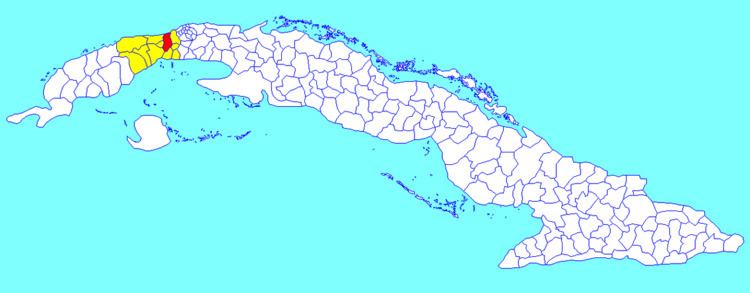
Map of Caimito, Cuba
Geography
The municipality is divided into the villages of Caimito, Guayabal, Ceiba del Agua, Pluebo Nuevo, Playa Baracoa, Rancho Grande, Capellanías, Vereda Nueva, Los Naranjos, Aguacate, Banes, Habana Libre and Menelao Mora.
Demographics
In 2004, the municipality of Caimito had a population of 36,813. With a total area of 238 km2 (92 sq mi), it has a population density of 154.7/km2 (401/sq mi).
Transport
Caimito, crossed by the Carretera Central, is served by A4 motorway, passing some km in north. It counts a railway station on the Havana–Pinar del Río line and Playa Baracoa Airport is located in the homonym village.