
Country Philippines Established December 23, 1959 Time zone PST (UTC+8) Province Dinagat Islands | Region Caraga (Region XIII) Barangays Area 249.5 km² | |
 | ||
District Lone district of Dinagat Islands Neighborhoods Valencia, Matas, Layagoang | ||
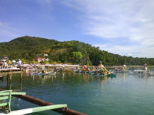
Tagbirayan beach cagdianao dinagat islands
Cagdianao is a municipality in the province of Dinagat Islands, Philippines. According to the 2015 census, it has a population of 16,808 people.
Contents
- Tagbirayan beach cagdianao dinagat islands
- Map of Cagdianao Dinagat Islands Philippines
- History
- Barangays
- References
Map of Cagdianao, Dinagat Islands, Philippines
History
The town became a part of the province of Dinagat Islands in December 2006, when the province was created from Surigao del Norte by Republic Act No. 9355. However, in February 2010, the Supreme Court ruled that the law was unconstitutional, as the necessary requirements for provincial land area and population were not met. The town reverted to Surigao del Norte. On October 24, 2012, however, the Supreme Court reversed its ruling from the previous year, and upheld the constitutionality of RA 9355 and the creation of Dinagat Islands as a province.
Barangays
Cagdianao is politically subdivided into 14 barangays.
References
Cagdianao, Dinagat Islands Wikipedia(Text) CC BY-SA