
Settled 17th century Population 43,036 (2013) Area code 31 | Microregion Belo Horizonte Area 541,094 km² Local time Monday 1:21 AM | |
 | ||
Mesoregion Metropolitan of Belo Horizonte Weather 20°C, Wind NW at 5 km/h, 86% Humidity | ||
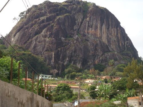
Caeté is a Brazilian municipality located in the state of Minas Gerais. The city belongs to the mesoregion Metropolitana de Belo Horizonte and to the microregion of Belo Horizonte.
Map of Caet%C3%A9, State of Minas Gerais, Brazil
The name Caeté is derived from the local term for some Marantaceae, in particular Stromanthe and Thalia.
The municipality contains a small part of the 31,270 hectares (77,300 acres) Serra do Gandarela National Park, created in 2014.
References
Caeté Wikipedia(Text) CC BY-SA