
Climate Cwb | Time zone WAT (UTC+1) Area 4,715 km² | |
 | ||
Weather 16°C, Wind W at 5 km/h, 73% Humidity | ||
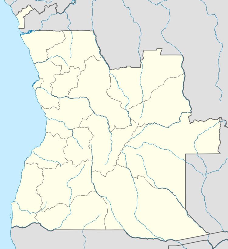
Caconda is a municipality and town in the province of Huíla, Angola.
It is located the Plano Alto region, approximately 280 km North of Lubango, the provincial capital city, and approximately 700 km South from Luanda, the country's capital city. The Concelho (municipality) was officially founded on 1857. It has approximately 160,000 inhabitants (statistics of 1983). In the 19th century, Caconda was the most advanced point in the colonial territory of Portugal in Africa.
There is also another populated place in Angola called Caconda, in the province of Huambo, and a river, in the province of Uige.
Caconda has a place in the history of zoology, because it was in this region that the great Portuguese naturalist and explorer José Alberto de Oliveira Anchieta (1833–1897) carried out the greater part of his work. He died in 1897 in Caconda, while returning from an expedition.
The Caconda region was severely affected by the Angolan Civil War. It is an extremely poor area, with a more than 20% malnutrition rate and many families living on subsistence farming. A large number of people was displaced during the civil war. The United Nations relief program and the World Food Program have been essential in addressing the humanitarian catastrophe.
Climate
Caconda has a subtropical highland climate (Köppen: Cwb).