
Country Canada Regional District Thompson-Nicola Time zone PST (UTC−8) Elevation 396 m Population 1,040 (2011) Province British Columbia | Region Thompson Country Incorporated 1959 Area code(s) 250 / 778 / 236 Area 10.25 km² Local time Sunday 4:11 PM Number of airports 1 | |
 | ||
Weather -1°C, Wind NE at 3 km/h, 65% Humidity | ||
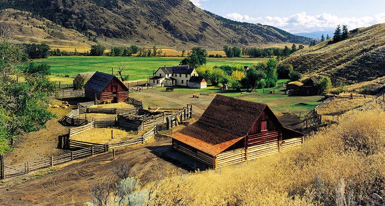
Cache Creek is a historic transportation junction and incorporated village 354 kilometres (220 mi) northeast of Vancouver in British Columbia, Canada. It is on the Trans-Canada Highway in the province of British Columbia at a junction with Highway 97. The same intersection and the town that grew around it was at the point on the Cariboo Wagon Road where a branch road, and previously only a trail, led east to Savona's Ferry on Kamloops Lake. This community is also the point at which a small stream, once known as Riviere de la Cache, joins the Bonaparte River.
Map of Cache Creek, BC, Canada
The name is derived, apparently, from a cache or buried and hidden supply and trade goods depot used by the fur traders of either the Hudson's Bay Company or its rival the North West Company. Although it was first incorporated as a Local District municipality with the name Cache Creek in 1959, the name has been associated with this community since long before incorporation. A Cache Creek post office was first established here in 1868.
Although still very active with traffic, Cache Creek was extremely busy for a few decades before the Trans-Canada Highway was superseded by the newer and shorter Coquihalla Highway, which bypasses the Fraser and Thompson Canyons between Hope and Kamloops via Merritt, about 97 kilometres (60 mi) southeast.
The nearby fossil locality, the McAbee fossil beds, is noted for the wide diversity of Eocene plants and animals preserved in the shale, including the extinct plants Dillhoffia and Trochodendron drachuckii.
The village of Cache Creek is also served by a community television station (run by the Ash-Creek Television Society), CH4472 in the neighbouring town of Ashcroft on VHF channel 4 (with an effective radiated power of 74 watts at 15 meters above ground level), with a repeater (CH4473 on VHF 8, with an effective radiated power of 49 watts at 45 meters) in Cache Creek, British Columbia. The town is also served by CFMA-FM 105.9, a tourist information station run by the Ash-Creek Television Society.