
Country Philippines Founded September 29, 1949 Time zone PST (UTC+8) Local time Monday 7:49 AM | District Lone district Barangays Area 54.19 km² Province Biliran | |
 | ||
Region Eastern Visayas (Region VIII) Weather 26°C, Wind N at 10 km/h, 79% Humidity | ||
Acoustic band bunga cabucgayan biliran
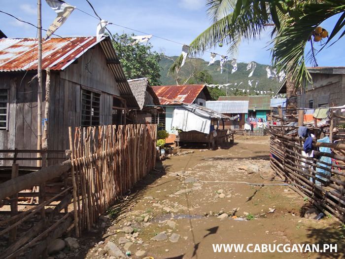
Cabucgayan, officially the Municipality of Cabucgayan (Waray: Bungto san Cabucgayan; Cebuano: Lungsod sa Cabucgayan; Filipino: Bayan ng Cabucgayan), is a municipality in the province of Biliran in the Eastern Visayas (Region VIII) of the Philippines. The population was 20,788 at the 2015 census. In the 2016 electoral roll, it had 13,090 registered voters.
Contents
- Acoustic band bunga cabucgayan biliran
- Map of Cabucgayan Biliran Philippines
- History
- Geography
- Climate
- Barangays
- Demographics
- References
Map of Cabucgayan, Biliran, Philippines
History
Cabucgayan derived its name from the snail called bukgay. In the Waray-Waray language, to make a singular noun into a plural noun, the article ka is added before the word and the article an after the word. Kabukgayan, therefore, means a place where there are many snails.
This municipality was created on September 29, 1949 when President Elpidio Quirino issued Executive Order no. 271.
Geography
Cabucgayan is located at 11°28′N 124°34′E, at the south-eastern section of Biliran Island, and is approximately 19 kilometres (12 mi) south from Caibiran, 33 kilometres (21 mi) away from the provincial capital Naval, and 118 kilometres (73 mi) away from Tacloban, the provincial capital of Leyte. Cabucgayan is bound on the north by Caibiran, east by the Villareal Bay, south by Carigara Bay, and west by the municipality of Biliran
According to the Philippine Statistics Authority, the municipality has a land area of 54.19 square kilometres (20.92 sq mi) constituting 7001101100000000000♠10.11% of the 536.01-square-kilometre- (206.95 sq mi) total area of Biliran.
Climate
It belongs to the two types of climate, Type II and Type IV. It is characterized by pronounced rainfall periodically accompanied by trade winds and storms during the months of January, June, July, November and December while the minimum monthly rainfall occurs in February, March, April and May.
The total land area dedicated to agriculture is 2,905 hectares (7,180 acres) or 59.63% of the total land area. The three major forest products are timber, rattan and wild abaca.
Barangays
Cabucgayan is politically subdivided into 13 barangays.
Demographics
In the 2015 census, Cabucgayan had a population of 20,788. The population density was 380 inhabitants per square kilometre (980/sq mi).
In the 2016 electoral roll, it had 13,090 registered voters.