Population 960 (2011 census) State electorate(s) Nanango Postal code 4352 Lga Toowoomba Region | Postcode(s) 4352 Cabarlah Federal division Division of Groom | |
 | ||
Location 15 km (9 mi) N of Toowoomba | ||
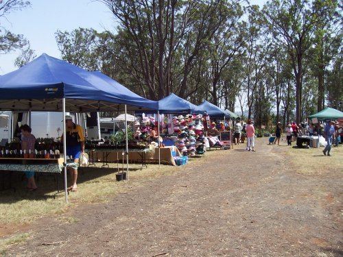
Cabarlah is a locality approximately 15 kilometres (9.3 mi) north of the Toowoomba city centre. It is situated on the Great Divide with views to the east of the Lockyer Valley through to Brisbane and to the west across the Darling Downs. Traditionally the area has been used for farming however in recent years the expansion of the Toowoomba Regional Council has led to acreage and other residential development. At the 2011 census, Cabarlah had a population of 960.
Contents
Map of Cabarlah QLD 4352, Australia
History
Cabarlah Post Office opened on 1 July 1927 (a receiving office had been open from 1884).
Since the Second World War, Cabarlah has also had a significant role as a base for the Australian Army. It was home to elements of the 7th Brigade early in the war. Later in the war it became a hub for signals and other training. Cabarlah is now home to the 7th Signal Regiment (Electronic Warfare) and other Australian Defence Force signals facilities.
