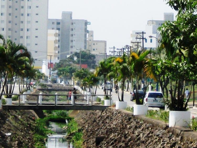
Country Brazil State São Paulo Area code(s) +55 12 Population 91,162 (2015) | Region Southeast Time zone BRT (UTC-3) Area 369 km² Local time Tuesday 1:20 AM | |
 | ||
Metropolitan Region Vale do Paraíba e Litoral Norte Weather 22°C, Wind E at 0 km/h, 95% Humidity Points of interest Centro de Educação Ambienta, Quadra de esportes do Parqu, Praça da Bandeira | ||
Caçapava (pronounced as /ka-sah-pah-vah/) is a municipality in the state of São Paulo in Brazil. It is part of the Metropolitan Region of Vale do Paraíba e Litoral Norte. The population is 91,162 (2015 est.) in an area of 368.99 km². The elevation is 570 m. The city lies between Taubaté (20 km) and São José dos Campos (21 km) as well as between the city of São Paulo (109 km) and the city of Rio de Janeiro (325 km). The average yearly temperature is 21.5°C, with a minimum average of 10.6°C on July and a maximum average of 30.1°C on February.
Map of Ca%C3%A7apava, State of S%C3%A3o Paulo, Brazil
Caçapava has a military unit known as 12ª Brigada de Infantaria Leve, which is part of the national army force and is constantly ready to take part in national and international missions. The city has also a reasonable industrial activity with important industries, like Nestlé and Pilkington, among others:
It's expected an ascension of the industrial activity in the city as an executive airport is under construction (Aerovale).
