
Type Radar Station Year built 1952 | In use 1953-1961 | |
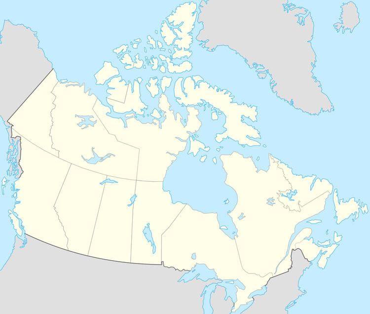 | ||
CFS Resolution Island (BAF-5) is a short-range radar site. It is located 593 miles (954 km) north-northwest of CFB Goose Bay, Labrador. It is part of the North Warning System. During the Cold War, it was operated as part of the Pinetree Line network controlled by NORAD.
History
As a result of the Cold War and with the expansion of a North American continental air defense system, Resolution Island was selected as a site for a United States Air Force (USAF) radar station, one of the many that would make up the Pinetree Line of Ground-Control Intercept (GCI) radar sites.
The United States Air Force Northeast Air Command (NEAC) established a general surveillance radar station on Resolution Island in 1953, designating the site as "Resolution Island Air Station", with Site-ID of N-30. The 920th Aircraft Control and Warning Squadron was assigned to the site on 19 January 1952. It was equipped with the following radars:
As a GCI base, the 920th's role was to guide interceptor aircraft toward unidentified intruders picked up on the unit's radar scopes. These interceptors were assigned to the 64th Air Division at Goose AFB, Labrador. In 1957, with the inactivation of NEAC, the station came under the jurisdiction of Air Defense Command.
Routine operations from the station were performed until 1 November 1961, when the station was inactivated and turned over to the Royal Canadian Air Force, which closed the facility.
The Canadian Coast Guard operated a radio station from 1929(?) until 1975 under the call sign VAW. The station (MF Marine) was then moved to Killinek (NWT/Nunavut), on the south shore of the Hudson Strait.
•1918 Cape Sable DF station opens
•1929 Resolution Island Radio opens
•US Navy Radio Navigational Aids 1943 lists this as a DF stn at Resolution Island, also broadcasting navigational warnings on 500 kHz.
The Canadian cargo ship Minna was wrecked on the east side of the island, on 18 August 1974. The vessel was then under charter by the Bedford Institute of Oceanography and was doing scientific surveys at the time of the accident. Badly damaged, the crew and scientific equipment's were removed. Bad weather swept the vessel in deeper waters where she sank on October 2nd 1974. This vessel with a length of 275 feet's and displacement of 4280 tons was based in Halifax and was on regular charter with the BIO for hydrographic surveys on the Labrador Coast and Hudson Strait. Minna was built in 1962 and had a crew of 21 men + 18 scientists.
The site was re-activated by the Canadian Forces as an unmanned North Warning System, short range radar site in 1991.