
Country United States County Hennepin City Council Ward 10 Area 95 ha Population 5,647 (2010) | State Minnesota City Minneapolis Time zone CST (UTC-6) Zip code 55408 Area code 612 | |
 | ||
Community Calhoun Isles, Minneapolis Restaurants Pizza Lucé Uptown, Vo's Vietname Restaurant, El Meson, Upzone Nutrition | ||
CARAG (Calhoun Area Residents' Action Group) is a residential neighborhood of Minneapolis, Minnesota.
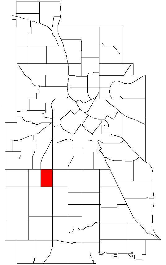
Map of Carag, Minneapolis, MN 55408, USA
CARAG is part of the Calhoun Isles community of the city, in the southeastern part of that community. It is located directly south of Lowry Hill East and directly east of East Calhoun. Its boundaries are Lake Street to the north, Lyndale Avenue to the east, 36th Street to the south, and Hennepin Avenue to the west. CARAG, Lowry Hill East, East Calhoun and East Isles form the business district of Uptown.
References
CARAG, Minneapolis Wikipedia(Text) CC BY-SA