
Country Vietnam Capital Cái Bè Area 421 km² Local time Wednesday 3:52 AM | Region Mekong Delta Time zone UTC + 7 (UTC+7) Province Tien Giang Province | |
 | ||
Weather 23°C, Wind SE at 8 km/h, 95% Humidity | ||
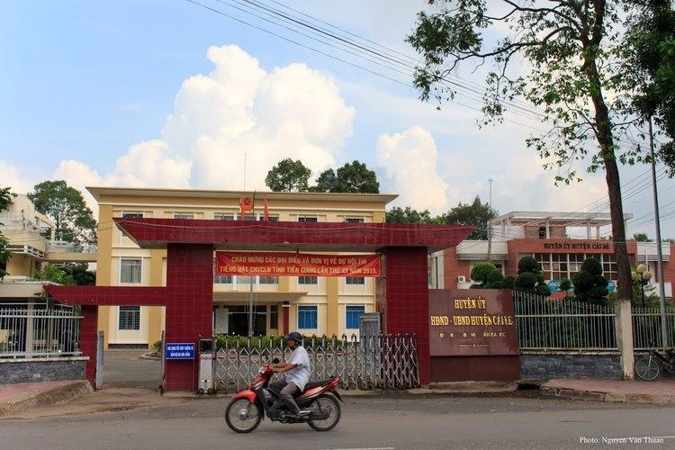
Cái Bè is a river-land mixed town in Vietnam. It is a rural district of Tiền Giang Province in the Mekong Delta region of Vietnam. Along the river, there are docks that handle passengers and goods, and the floating market. Cái Bè is the north shore of Mỹ Thuận bridge, the gateway to the city of Vĩnh Long and the Cửu Long River Delta. As of 2003, the district had a population of 290,457. The district covers an area of 421 km². The district capital lies at Cái Bè.
Map of C%C3%A1i B%C3%A8 District, Tien Giang, Vietnam
References
Cái Bè District Wikipedia(Text) CC BY-SA