
Country United States County Genesee FIPS code 36-11572 Elevation 184 m Population 2,369 (2010) Area code 585 | State New York Time zone Eastern (EST) (UTC-5) GNIS feature ID 0978771 Zip code 14422 Local time Thursday 8:54 AM | |
 | ||
Weather -4°C, Wind W at 34 km/h, 66% Humidity Area 83.66 km² (83.4 km² Land / 26 ha Water) | ||
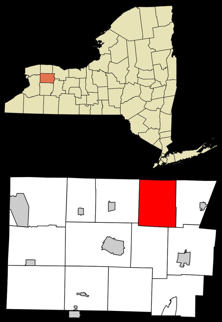
Byron is a town in Genesee County, New York, United States. It was named in honor of Lord Byron. The town is on the northern border of the county, and lies northeast of the city of Batavia. The population was 2,369 at the 2010 census. The local school district, Byron-Bergen Central School District, is shared with the town of Bergen.
Contents
- Map of Byron NY 14422 USA
- History
- Geography
- Demographics
- Notable people
- Communities and locations in Byron
- References
Map of Byron, NY 14422, USA
History
Byron was first settled around 1807. The town was incorporated in 1820 from part of the town of Bergen.
On January 12, 1919, there was a New York Central train wreck in South Byron, killing 22.
Byron was traditionally a rural area of dairy and vegetable farms.
Geography
According to the United States Census Bureau, the town has a total area of 32.2 square miles (83 km2), of which 32.2 square miles (83 km2) is land and 0.1 square miles (0.26 km2), or 0.19%, is water.
Demographics
As of the census of 2000, there were 2,493 people, 878 households, and 663 families residing in the town. The population density was 77.4 people per square mile (29.9/km²). There were 922 housing units at an average density of 28.6 per square mile (11.1/km²). The racial makeup of the town was 95.75% White, 0.28% African American, 0.64% Native American, 0.36% Asian, 0.04% Pacific Islander, 1.89% from other races, and 1.04% from two or more races. Hispanic or Latino of any race were 3.77% of the population.
There were 878 households out of which 40.2% had children under the age of 18 living with them, 64.2% were married couples living together, 7.4% had a female householder with no husband present, and 24.4% were non-families. 18.6% of all households were made up of individuals and 5.8% had someone living alone who was 65 years of age or older. The average household size was 2.84 and the average family size was 3.24. There are slightly more livestock, mostly cattle in the township than there are humans
In the town, the population was spread out with 29.3% under the age of 18, 8.2% from 18 to 24, 31.4% from 25 to 44, 22.9% from 45 to 64, and 8.1% who were 65 years of age or older. The median age was 36 years. For every 100 females there were 100.4 males. For every 100 females age 18 and over, there were 101.1 males.
The median income for a household in the town was $49,722, and the median income for a family was $56,927. Males had a median income of $38,828 versus $24,877 for females. The per capita income for the town was $19,825. About 3.7% of families and 5.0% of the population were below the poverty line, including 6.2% of those under age 18 and 6.4% of those age 65 or over.