
Area 341 km² | Time zone EET (UTC+2) Population 14,962 (Dec 2009) | |
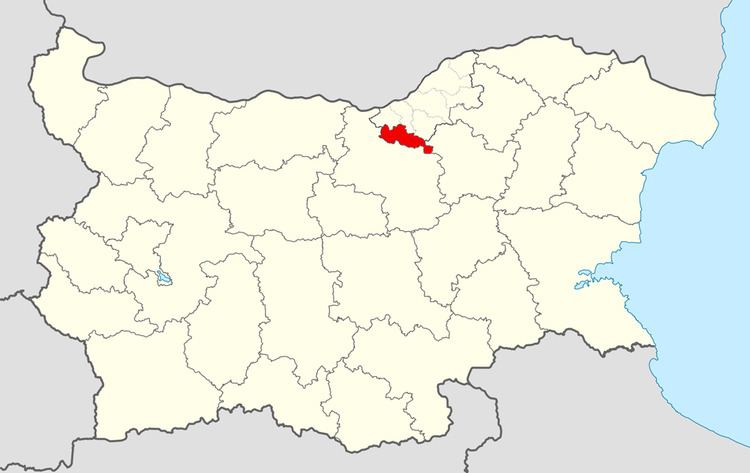 | ||
Byala Municipality (Bulgarian: Община Бяла) is a municipality (obshtina) in Ruse Province, Central-North Bulgaria, located in the Danubian Plain about 20 km southeast of Danube river. It is named after its administrative centre - the town of Byala.
Contents
Map of Byala, Bulgaria
The municipality embraces a territory of 341 km² with a population of 14,962 inhabitants, as of December 2009.
The area is crossroads of some of the main directions in the country - road E85, road E83, I-51 and I-52, which connect the province centre of Ruse with the cities of Veliko Tarnovo, Pleven, Svishtov and respectively the country capital of Sofia and Shipka pass. Yantra river flows through the area from south to north.
Settlements
Byala Municipality includes the following 11 places (towns are shown in bold):
Demography
The following table shows the change of the population during the last four decades.