
Population 257 (2011 census) Postal code 3711 | Postcode(s) 3711 Local time Wednesday 6:32 AM | |
 | ||
Weather 9°C, Wind NE at 8 km/h, 90% Humidity | ||
Buxton is a small town 104 kilometres (65 mi) north-east of Melbourne in the Australian state of Victoria. At the 2011 Census, Buxton had a population of 257.
Map of Buxton VIC 3711, Australia
The district around Buxton was significantly impacted by the Black Saturday bushfires. It was isolated for several days with no telephone or power.
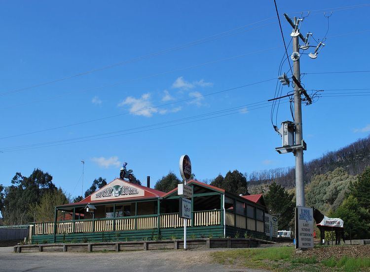
Today Buxton remains a small township with a roadhouse, a Post Office, general store, a fishing and outdoors store, Salmon and Trout Farm, Hotel, a town hall, a primary school, nursery and several bed and breakfasts.
It has an active Country Fire Authority station with one tanker and one slip-on unit. The Buxton Fire Brigade was formed in 1943 and officially recognised on 25 February 1944.
After the 2009 Black Saturday fires, the Marysville Police station was temporarily relocated in Buxton until the new station was opened in 2012.
The igloo roadhouse was established in 1944. The Buxton Primary School opened in 1875. Buxton Post Office opened on 1 February 1873.