Parent peak Cup Benchmark Elevation 2,767 m | Prominence 177 m | |
 | ||
Topo map USGS Buttercup Mountain Easiest route Simple scramble, class 2 Similar Baker Peak, Norton Peak, Big Peak, Smoky Dome, Goat Mountain | ||
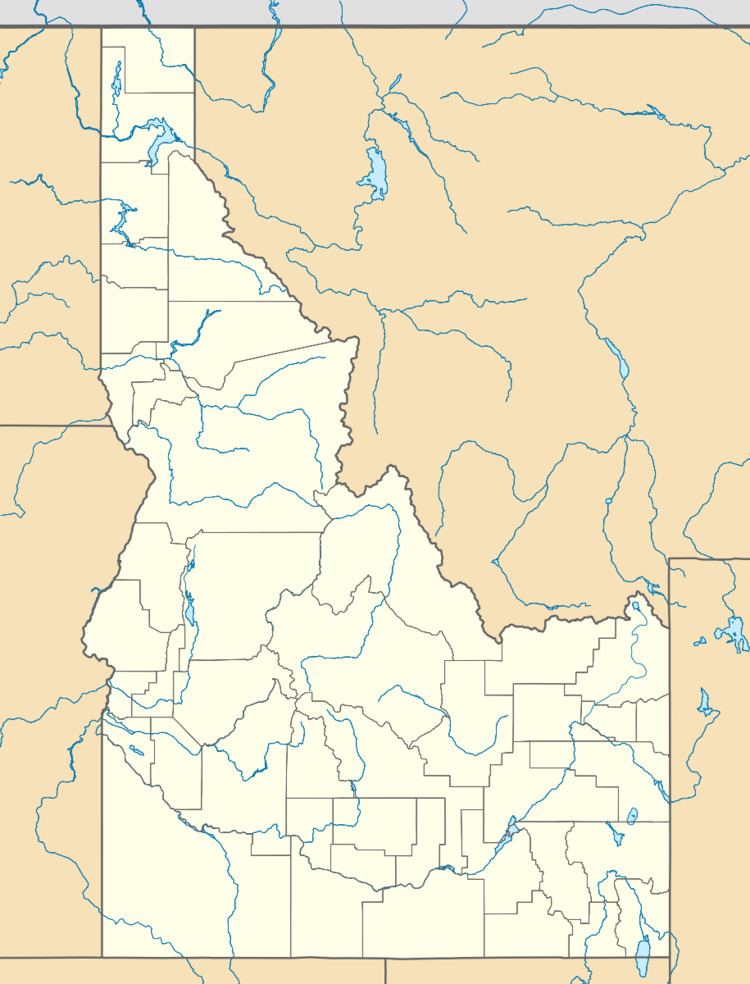
Buttercup Mountain, at 9,079 feet (2,767 m) above sea level is a peak in the Smoky Mountains of Idaho. The peak is located in Sawtooth National Forest on the border of Blaine and Camas counties. It is located in the watersheds of Willow and Deer creeks. It is about 5.75 mi (9.25 km) northwest of Kelly Mountain and 8.3 mi (13.4 km) southeast of Dollarhide Mountain. No roads or trails go to the summit.
Map of Buttercup Mountain, Idaho 83340, USA
References
Buttercup Mountain Wikipedia(Text) CC BY-SA
