
OS grid reference SE732581 Sovereign state United Kingdom Postcode district YO41 Civil parish Buttercrambe with Bossall | Post town YORK Local time Tuesday 5:48 PM | |
 | ||
Weather 8°C, Wind SW at 13 km/h, 63% Humidity | ||
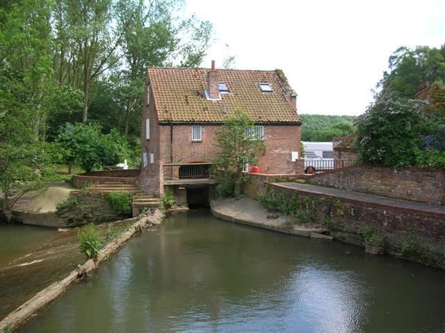
Buttercrambe is a small village in the Buttercrambe with Bossall civil parish, in the Ryedale district of North Yorkshire, England.
Map of Buttercrambe, York, UK
The village is situated approximately 8 miles (13 km) to the north-east of York and on the border with the East Riding of Yorkshire. It, with Bossall parish had a recorded population of about 100 in the 2001 Census.
Aldby Hall and the Church of St John the Evangelist are at the centre of the village. To the west of Buttercrambe, on high ground, are the remains of a Roman Temporary Camp: a square enclosure, ditched and banked, constructed quickly by an army on manoeuvres in enemy territory and used either overnight or for a short period of time, and demolished upon abandonment of the site. The camp was constructed probably 20 years before the establishment of Eboracum, Roman York, in 71 AD.