
Country United States County Warren FIPS code 39-10674 Elevation 263 m Zip code 45162 Population 165 (2013) | State Ohio Time zone Eastern (EST) (UTC-5) GNIS feature ID 1056745 Area 28 ha Local time Tuesday 12:13 PM Area code 513 | |
 | ||
Weather 13°C, Wind S at 26 km/h, 92% Humidity | ||
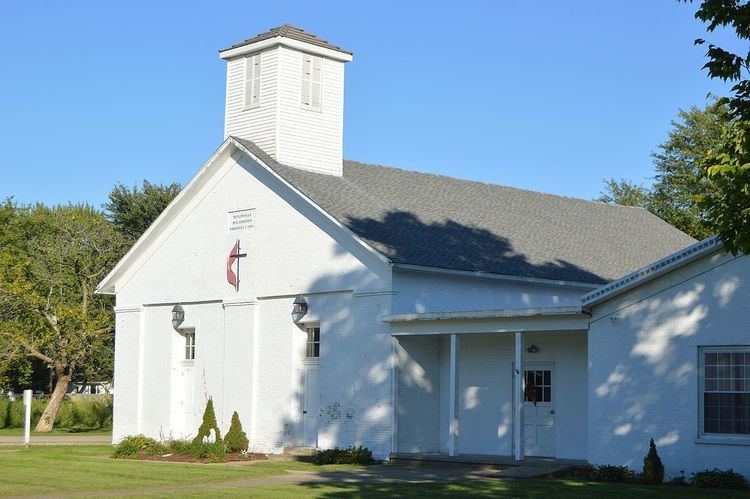
Butlerville is a village in central Harlan Township, Warren County, Ohio, United States, located in the southwestern part of the state. The population was 163 at the 2010 census.
Contents
Map of Butlerville, OH 45162, USA
History
Butlerville was platted in 1838 when a new turnpike was extended to that point. The village was named for its founder, Abram B. Butler. A post office was established at Butlerville in 1833, and remained in operation until 1905.
Geography
Butlerville is located at 39°18′10″N 84°5′20″W (39.302758, -84.088919).
According to the United States Census Bureau, the village has a total area of 0.11 square miles (0.28 km2), all land.
Demographics
The village is in the Little Miami Local School District. Telephone service is provided through the Butlerville exchange and mail is delivered through the Pleasant Plain post office.
2010 census
As of the census of 2010, there were 163 people, 56 households, and 41 families residing in the village. The population density was 1,481.8 inhabitants per square mile (572.1/km2). There were 60 housing units at an average density of 545.5 per square mile (210.6/km2). The racial makeup of the village was 99.4% White and 0.6% African American. Hispanic or Latino of any race were 0.6% of the population.
There were 56 households of which 41.1% had children under the age of 18 living with them, 58.9% were married couples living together, 8.9% had a female householder with no husband present, 5.4% had a male householder with no wife present, and 26.8% were non-families. 17.9% of all households were made up of individuals and 1.8% had someone living alone who was 65 years of age or older. The average household size was 2.91 and the average family size was 3.27.
The median age in the village was 33.3 years. 29.4% of residents were under the age of 18; 9.8% were between the ages of 18 and 24; 26.9% were from 25 to 44; 26.4% were from 45 to 64; and 7.4% were 65 years of age or older. The gender makeup of the village was 50.9% male and 49.1% female.
2000 census
As of the census of 2000, there were 231 people, 80 households, and 69 families residing in the village. The population density was 1,563.5 people per square mile (594.6/km²). There were 84 housing units at an average density of 568.5 per square mile (216.2/km²). The racial makeup of the village was 98.70% White, and 1.30% from two or more races.
There were 80 households out of which 42.5% had children under the age of 18 living with them, 68.8% were married couples living together, 10.0% had a female householder with no husband present, and 13.8% were non-families. 13.8% of all households were made up of individuals and 3.8% had someone living alone who was 65 years of age or older. The average household size was 2.89 and the average family size was 3.16.
In the village, the population was spread out with 27.3% under the age of 18, 12.1% from 18 to 24, 31.6% from 25 to 44, 21.2% from 45 to 64, and 7.8% who were 65 years of age or older. The median age was 34 years. For every 100 females there were 110.0 males. For every 100 females age 18 and over, there were 104.9 males.
The median income for a household in the village was $46,458, and the median income for a family was $47,083. Males had a median income of $32,813 versus $25,417 for females. The per capita income for the village was $15,916. None of the families and 0.9% of the population were living below the poverty line.