
 | ||
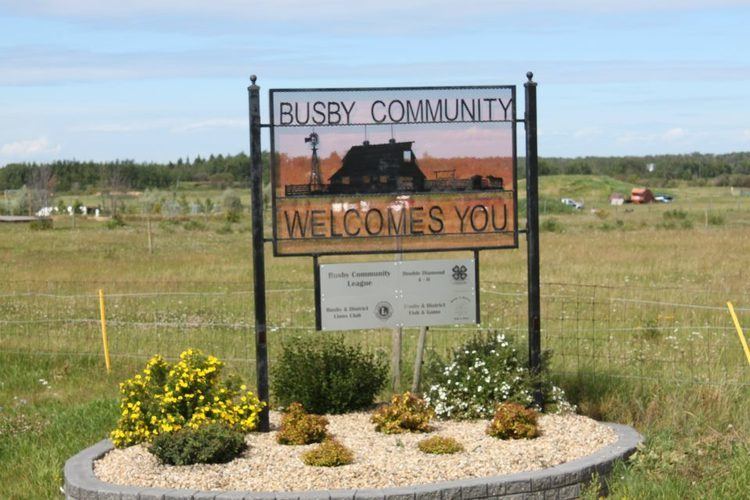
Busby is a hamlet in central Alberta, Canada within Westlock County. It is located on Highway 651, approximately 52 kilometres (32 mi) northwest of Edmonton and 16 kilometres (9.9 mi) west of Highway 2.
Contents
Map of Busby, AB, Canada
History
Busby was settled by Americans and was named Independence when the post office opened in 1903. In 1915, the Edmonton, Dunvegan and British Columbia Railway arrived and the hamlet's name was changed to Busby.
Demographics
As a designated place in the 2016 Census of Population conducted by Statistics Canada, Busby recorded a population of 140 living in 64 of its 66 total private dwellings, a change of 7001429000000000000♠42.9% from its 2011 population of 98. With a land area of 0.69 km2 (0.27 sq mi), it had a population density of 202.9/km2 (525.5/sq mi) in 2016.
As a designated place in the 2011 Census, Busby had a population of 98 living in 48 of its 56 total dwellings, an 8.9% change from its 2006 population of 90. With a land area of 0.72 km2 (0.28 sq mi), it had a population density of 136.1/km2 (353/sq mi) in 2011.