
Population 50 (2001) Region North West Sovereign state United Kingdom Local time Tuesday 10:41 AM Civil parish Duddon UK parliament constituency Eddisbury | OS grid reference SJ510638 Country England Post town CREWE Dialling code 01829 Ceremonial county Cheshire | |
 | ||
Weather 7°C, Wind SW at 11 km/h, 78% Humidity | ||
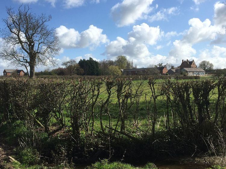
Burton is a small village in the unitary authority of Cheshire West and Chester and the ceremonial county of Cheshire, England. In the 2001 Census, the village had a population of 50. Burton is part of the Duddon civil parish.
Contents
Map of Burton, UK
Location
The village is about 2 miles (3.2 km) south east of Tarvin and 3 miles (4.8 km) west of Tarporley. The village lies on Burton Road, with the villages of Duddon to the north and Hoofield to the south. The River Gowy passes approximately 1 mile (1.6 km) to the south west of Burton.
The Eddisbury Way footpath passes through the village.
The village is surrounded by undulating pasture and contains three dairy farms - Burton Farm, Holly Farm and Home Farm. The village is dominated by Burton Hall.
Governance
Burton currently falls within the unitary authority of Cheshire West and Chester and within the Westminster constituency of Eddisbury.
Until 1 April 2015, Burton was a civil parish. Although classified as a civil parish, it had neither a parish council nor a parish meeting, and, consequently, the duties that would normally be performed by these bodies were the responsibility of Cheshire West and Chester Council.
From 1 April 2015, Burton parish was merged with Duddon parish to create a new, larger, Duddon parish.