
- land 54.03 sq mi (140 km) - summer (DST) CDT (UTC-5) | - water 0.01 sq mi (0 km) Local time Tuesday 2:28 AM | |
 | ||
Weather 16°C, Wind S at 37 km/h, 91% Humidity | ||
Burnt Prairie Township is located in White County, Illinois. As of the 2010 census, its population was 345 and it contained 195 housing units.
Contents
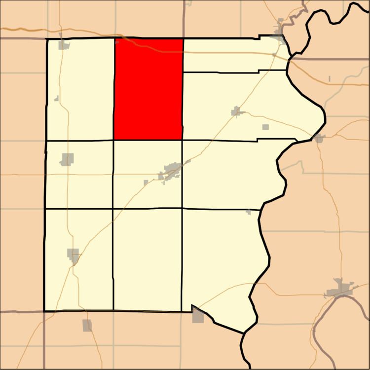
Map of Burnt Prairie Township, IL, USA
Geography
According to the 2010 census, the township has a total area of 54.04 square miles (140.0 km2), of which 54.03 square miles (139.9 km2) (or 99.98%) is land and 0.01 square miles (0.026 km2) (or 0.02%) is water.
References
Burnt Prairie Township, White County, Illinois Wikipedia(Text) CC BY-SA