
Area 113 ha Local time Tuesday 9:11 PM | Population 2,370 (2006) | |
 | ||
Weather 12°C, Wind SW at 18 km/h, 73% Humidity | ||
Burnside is a suburb of Christchurch, New Zealand, located southeast of Christchurch International Airport. As with most suburbs in Christchurch, it has no defined boundaries and is a general area.
Contents
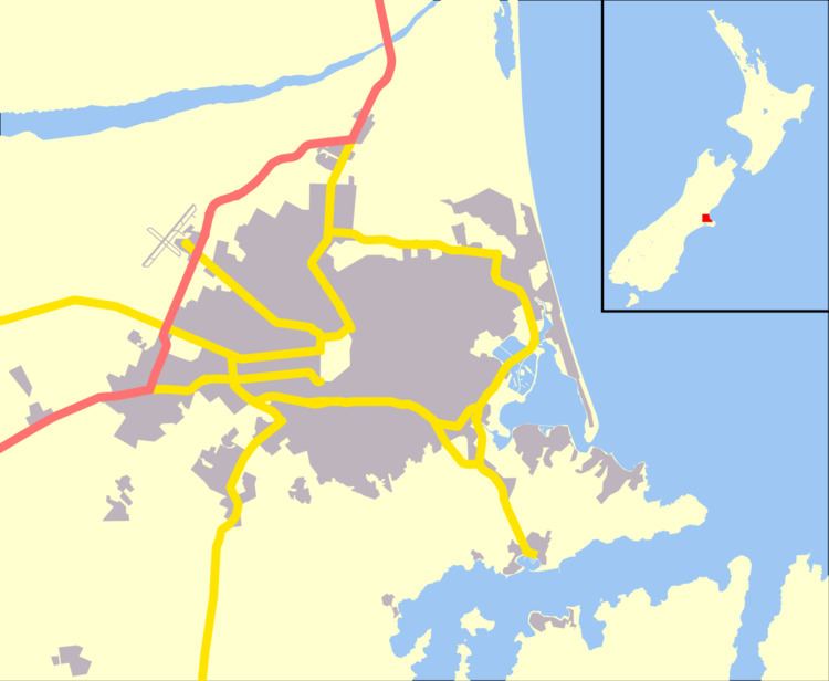
Map of Burnside, Christchurch, New Zealand
History
Burnside was originally part of a farm, approximately 1,700 acres (6.9 km2) in size, owned by the early settler William Boag (1828-1904), who arrived in 1851 from Perthshire. It was named for the small creeks that formed the headwaters of the Waimairi Stream. The name Burnside was made official by the Waimairi County Council in 1959, although Burnside Road had been renamed Memorial Avenue in 1950.
For the first hundred years of European settlement, the area in and around Burnside was farmland, with sheep, cattle and orchards occupying the land.
Schools
Suburb
Burnside contains a central park (Burnside Park), and its two central roads are Memorial Avenue and Greers Road. It contains a smaller park (Jellie Park) opposite Burnside High School on Greers Road.