Postcode(s) 5520 Postal code 5520 | Elevation 128 m | |
 | ||
Location 23 km (14 mi) N of Lake Bumbunga LGA(s) | ||
Burnsfield (33°41′S 138°12′E; postcode: 5520) is a locality in South Australia's Mid North. The locality is named for the Burnsfield railway station which in turn was named for the Burns family, owners of the land at the time of and prior to the Salisbury-Redhill railway construction in 1925. The Burns family first took up land at the site at the western foot of the Hummocks Range in about 1878.
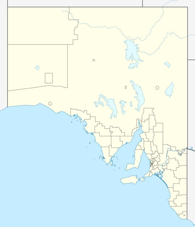
Map of Burnsfield SA 5520, Australia
In 2011, an eight-year mining lease was granted to mine salt from a 83-hectare (210-acre) site in the north west of Burnsfield.
References
Burnsfield, South Australia Wikipedia(Text) CC BY-SA
